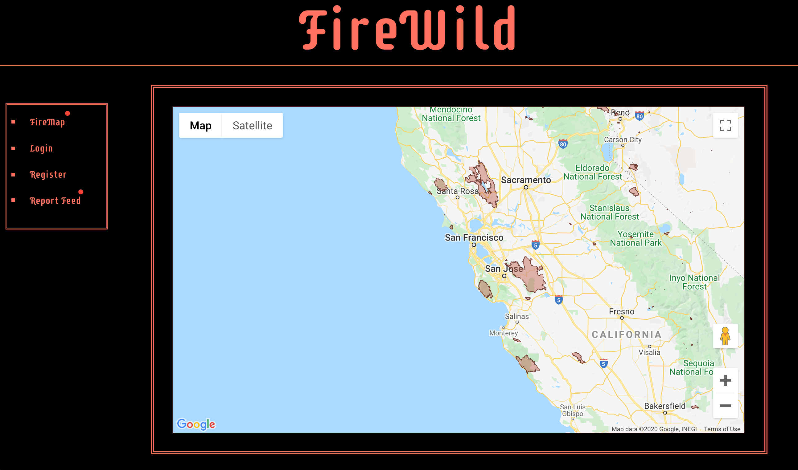
Firewild is a React.js app that uses the ArcGIS Javascript API to track wildfires across the US using GeoJSON data from CA.gov.
In the project directory, you can run:
Runs the app in the development mode.
Open http://localhost:3000 to view it in the browser.
The page will reload if you make edits.
You will also see any lint errors in the console.
Click the link to see the main page in deployment (all sidebar links aside from FireMap are broken): http://firewild.netlify.app
